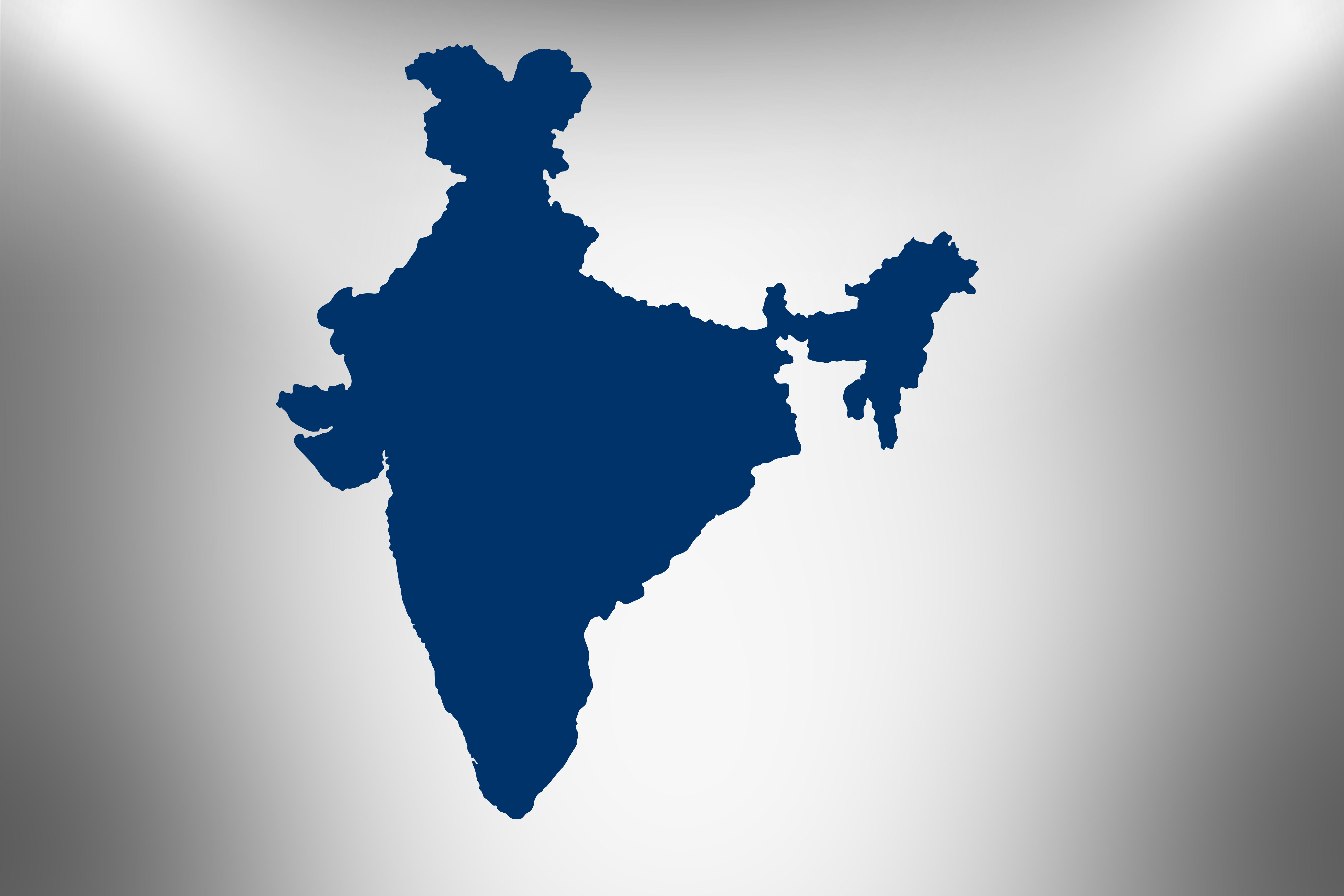
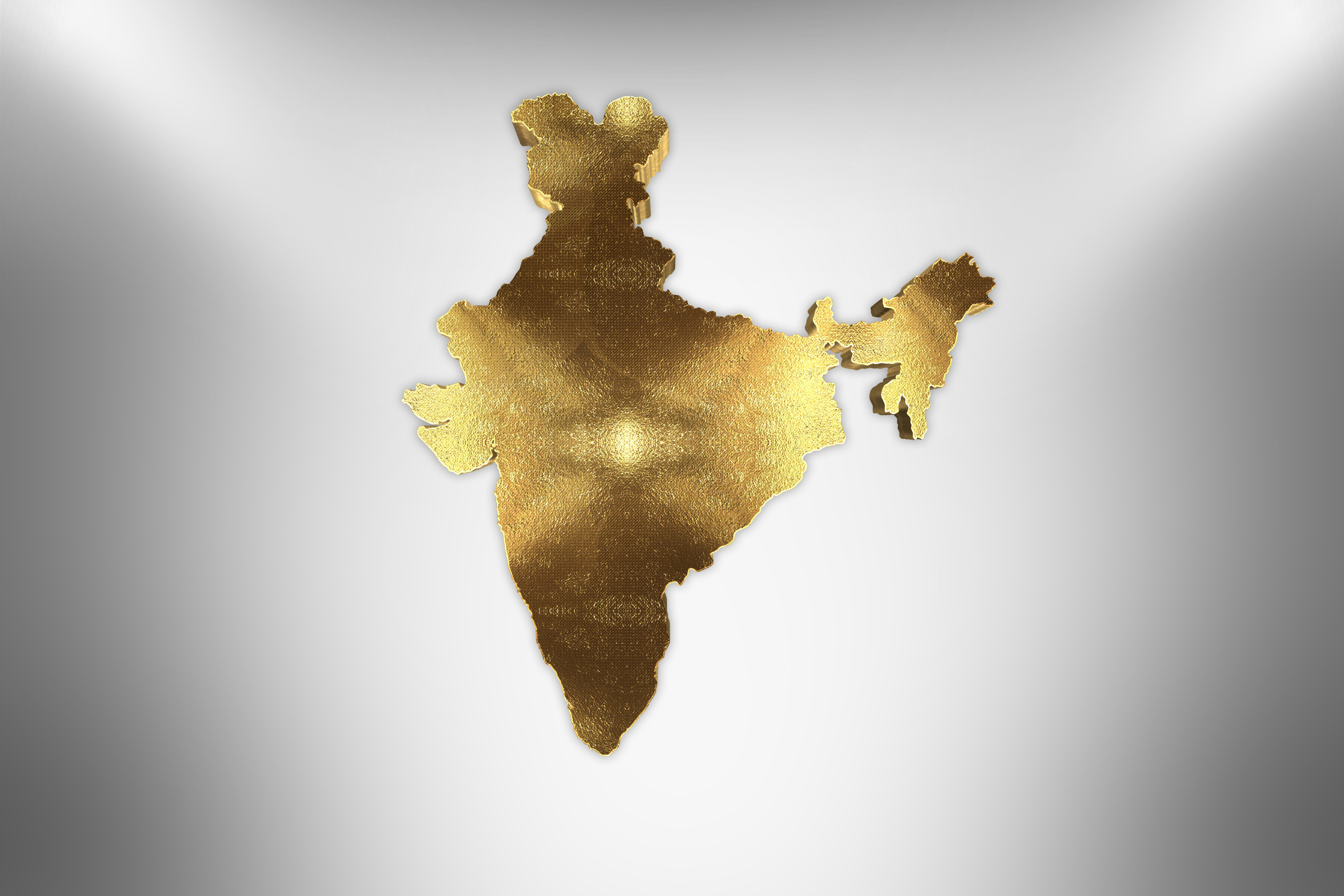
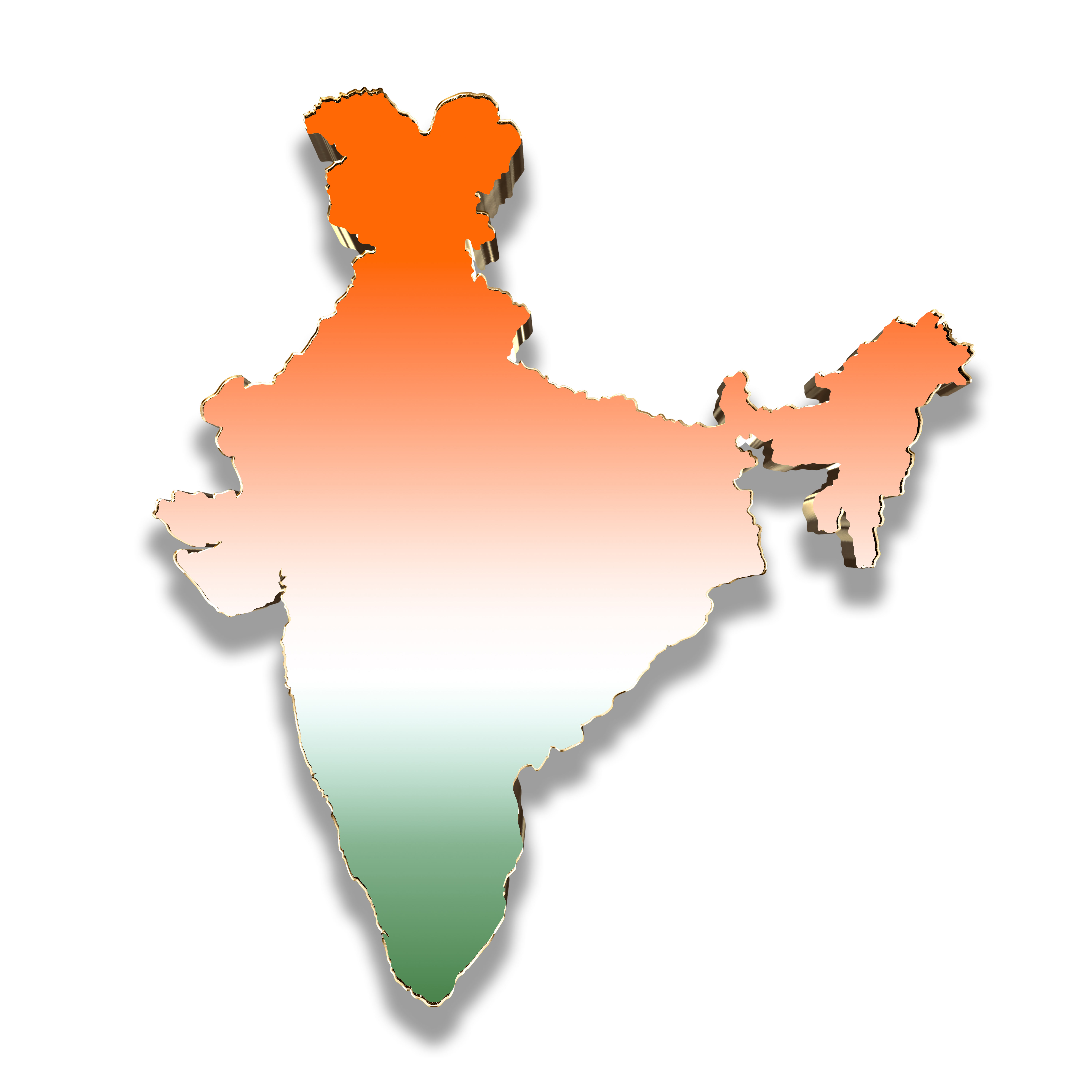
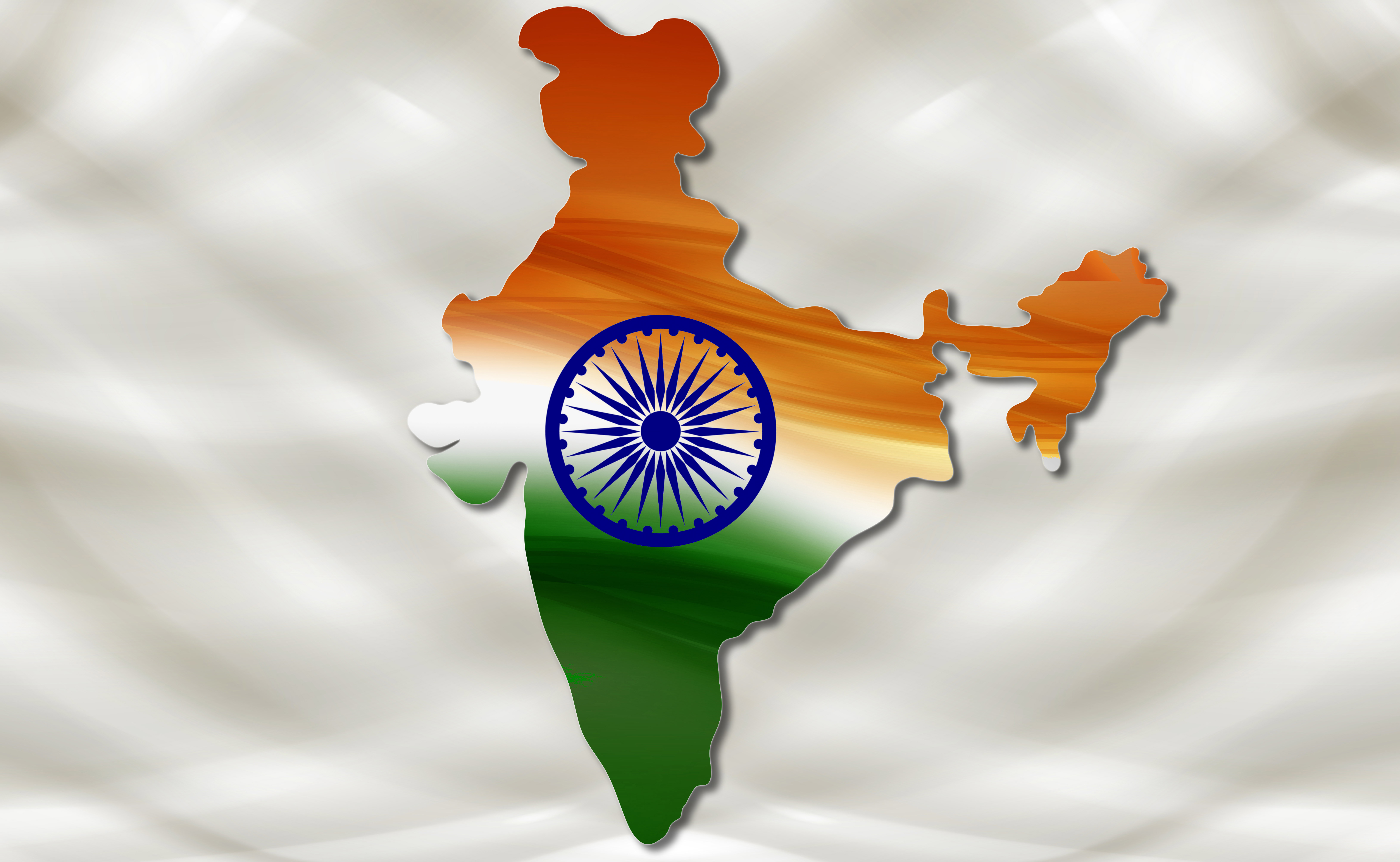
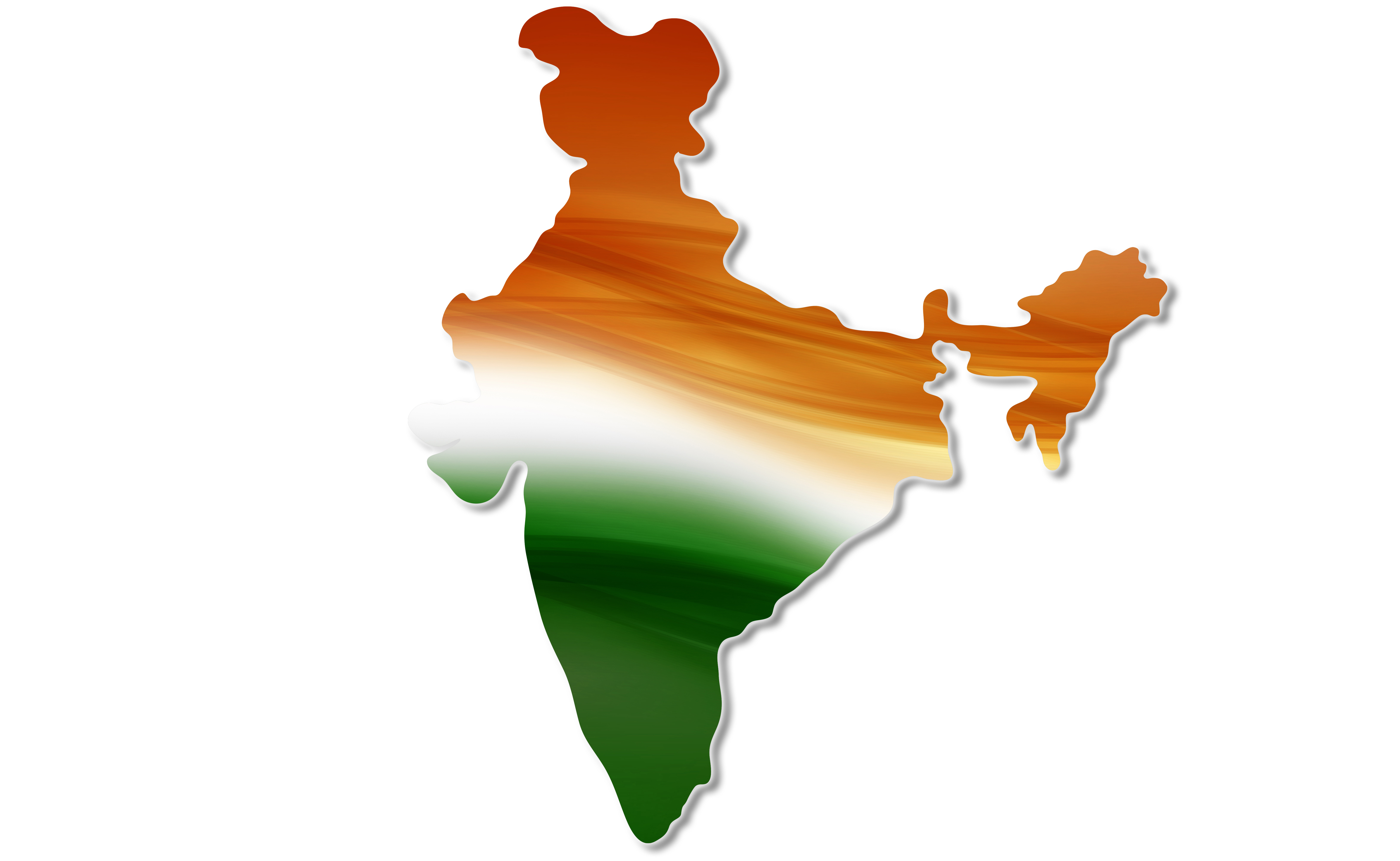
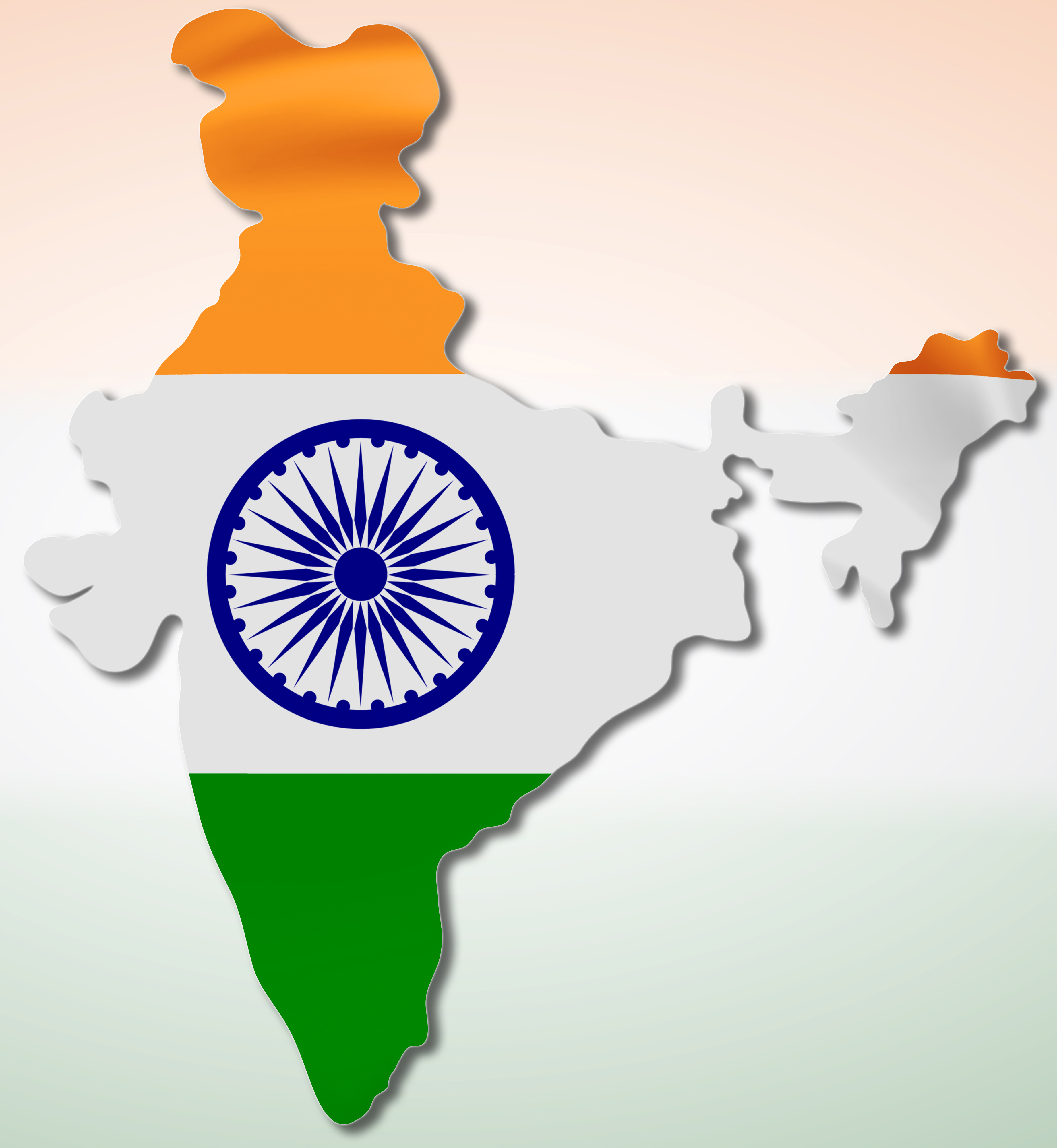
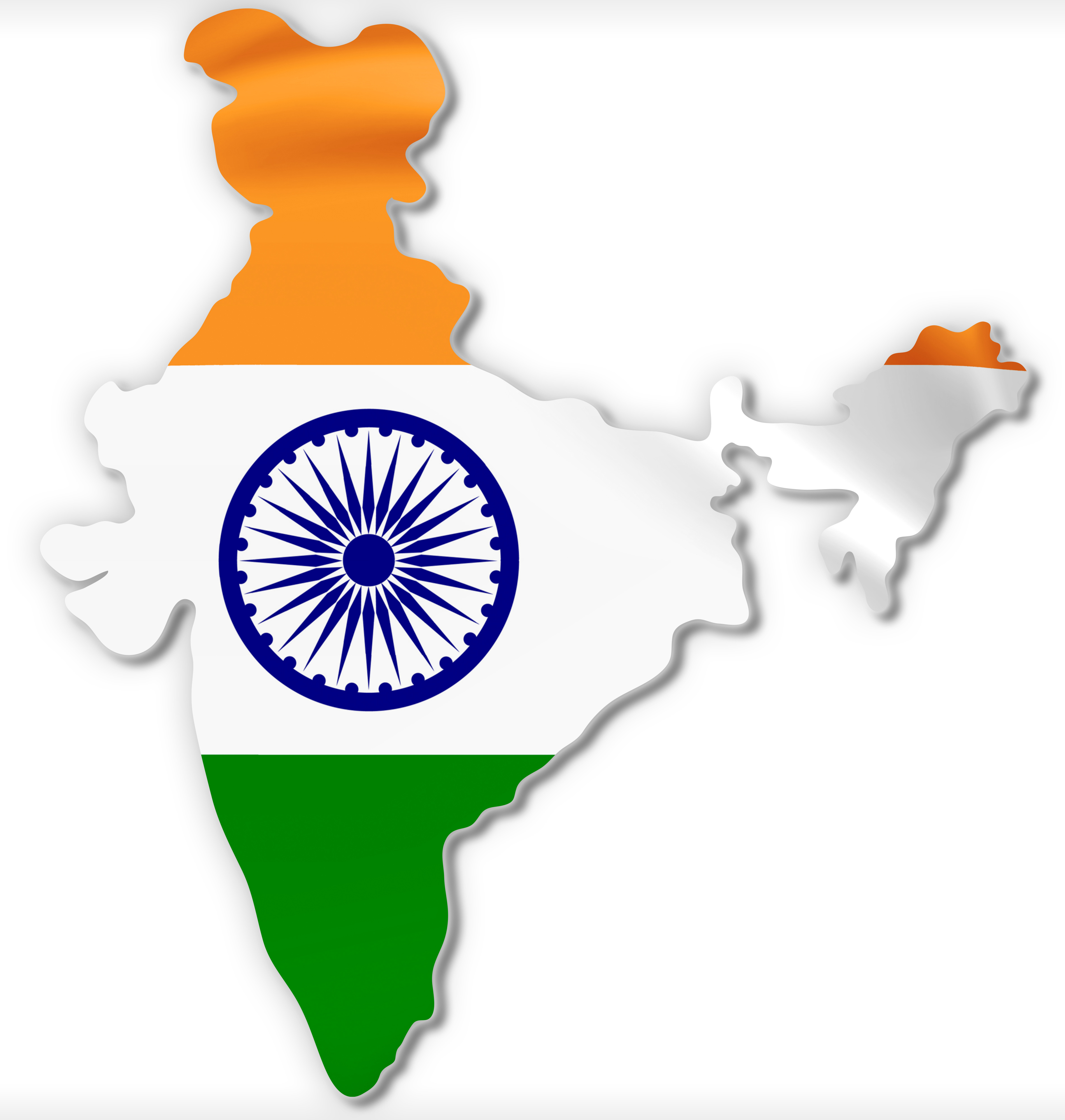
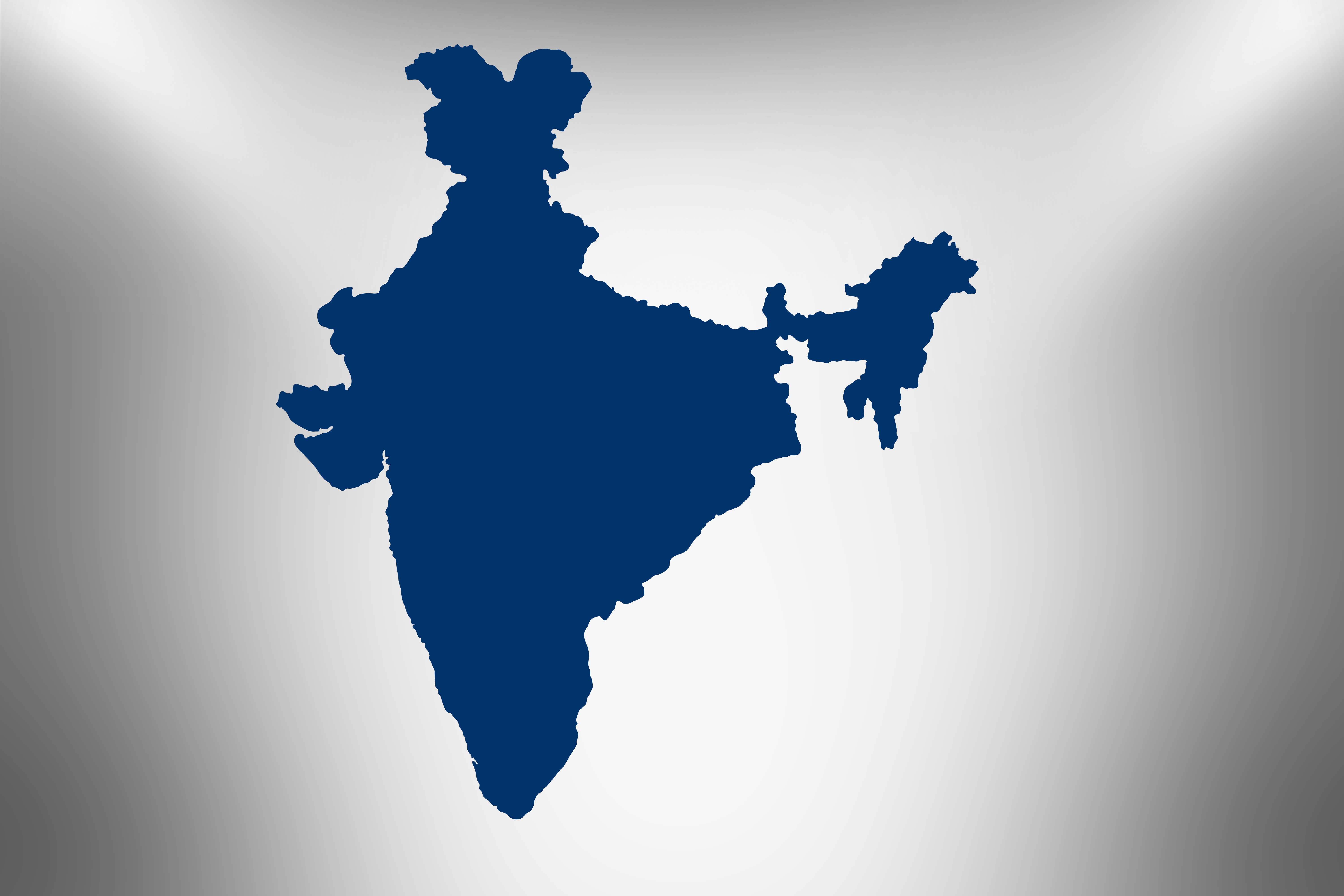
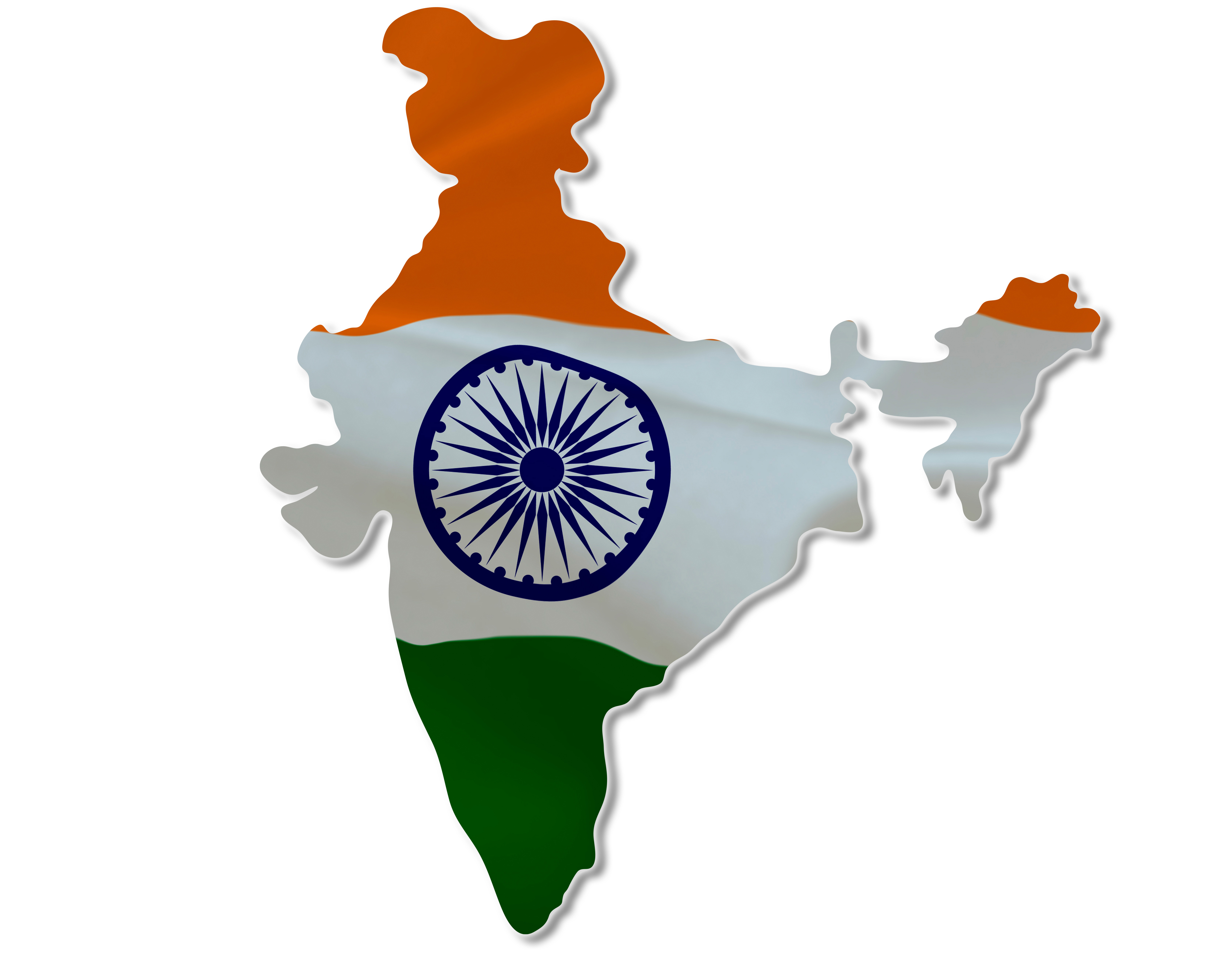
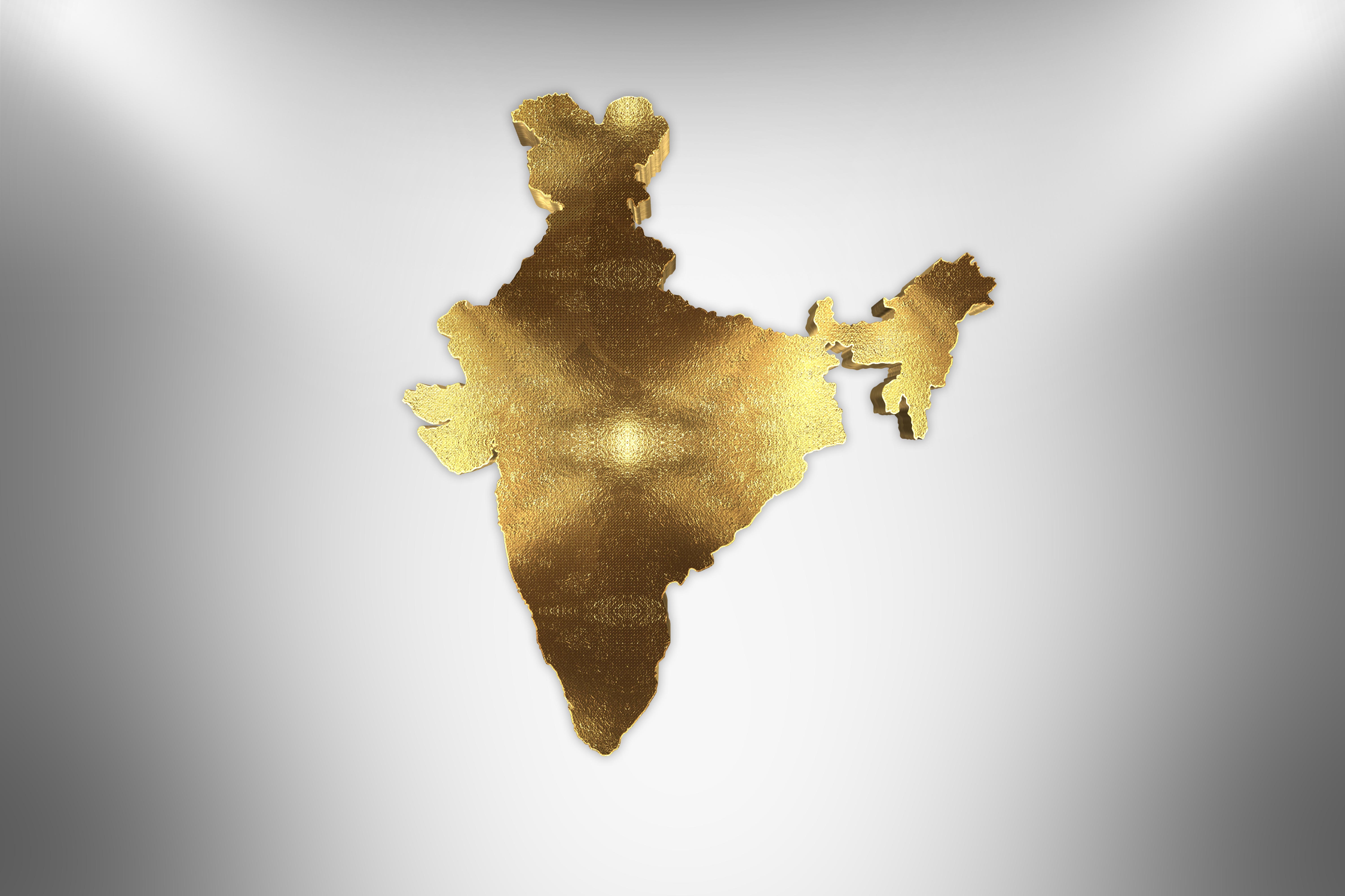
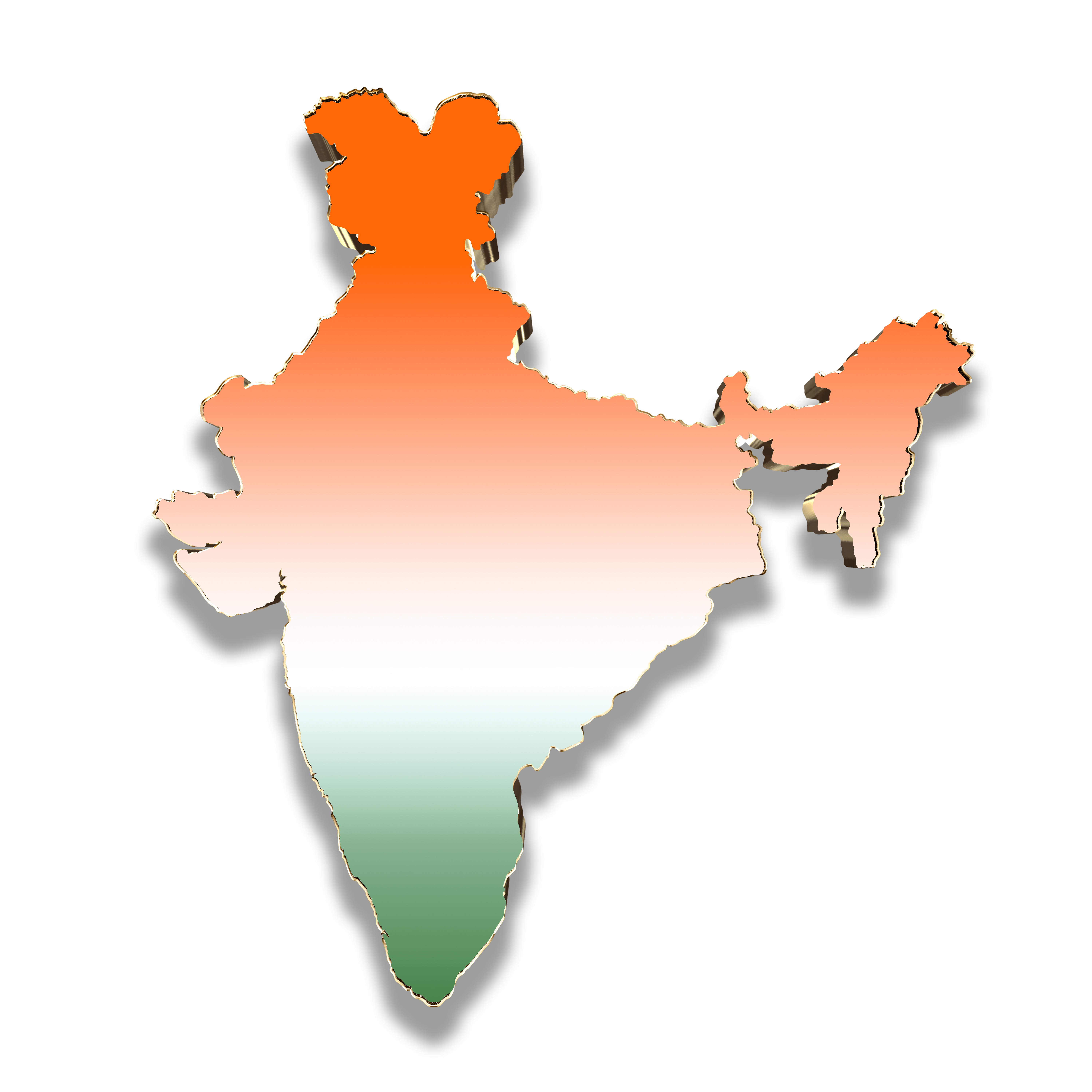
Explore the most authentic and high-resolution collection of 4K India Map Images. Accurate and high-resolution maps are essential tools for education, journalism, corporate planning, and government publications. The map of India represents a vast, geographically diverse subcontinent, stretching from the snow-capped Himalayas in the north to the coastal peninsula of the Indian Ocean, currently encompassing 28 states and 8 Union Territories. When sourcing cartographic visuals, precision and adherence to recognized geographical boundaries are critical to maintaining trust and authority in any published content.
Royalty Free Footages provides a comprehensive collection of India Map HD images, designed to meet rigorous editorial and commercial requirements. Our platform collaborates with a nationwide network of talented digital artists, graphic designers, and cartography professionals to offer visuals that go far beyond generic stock templates. The collection features a wide array of formats, including highly detailed political maps, topographic illustrations, clean vector graphics, and stylized 3D renderings of the Indian subcontinent.
By leveraging a localized and diverse contributor network, we ensure that our visual assets authentically reflect India’s regional geography with cultural and contextual awareness. Whether you require a detailed state-wise breakdown for a logistics report, a vibrant infographic map for a regional tourism brochure, or an accurate political boundary map for an academic textbook, our library provides genuine, high-quality options. Focused on technical excellence and usability, these high-definition, royalty-free map images empower creators, educators, and businesses to visually communicate India's spatial, economic, and demographic narrative with complete clarity and professionalism.